| Version 3 (modified by , 5 months ago) ( diff ) |
|---|
Site Navigation
- COSMOS Testbed Overview
- Getting Started
- COSMOS/ORBIT User Guide
- COSMOS Portal
- Account Management
- Portal Dashboard
- Directory
- Disk Images
- Community Forum
- Getting Started with the COSMOS Portal
- SSH Access to Testbed Nodes
- Scheduler
- Testbed Status
- Installing Chrome Remote Desktop (CRD) on a Custom Image
- Tutorials
- Architecture
- Resources, Services and APIs
- Datasets
- Hardware Info
- RF Policies & Compliance
Description
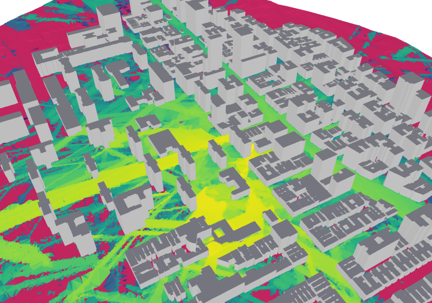
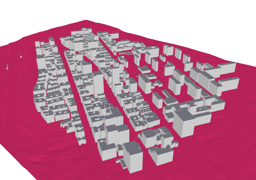
Geo2SigMap is an efficient framework for high-fidelity RF signal mapping leveraging geographic databases, ray tracing, and a novel cascaded U-Net model. The project offers an automated and scalable pipeline that efficiently generates 3D building and path gain (PG) maps. The repository is split into two distinct partitions:
- Scene Generation: A pure Python-based pipeline for generating 3D scenes for arbitrary areas of interest.
- ML-based Propagation Model: ML-based signal coverage prediction using our pre-trained model based on the cascaded U-Net architecture described in this paper.
As of November 2025, v2.0.0 enhances the scene generation pipeline to include:
- LiDAR Terrain Data
- Building height calibration using Digital Elevation Models (DEMs)
This drastically improves the accuracy of the environment being processed by the ML-based Propagation Model or a ray tracer of your choice. Throughout the following notebook examples, we utilize Sionna RT. This package is open-source and highly accurate for generating coverage maps. If you are unfamiliar with Sionna RT, feel free to read Nvidia's Technical Report to better understand how it works.
Prerequisites
Package Installation
Demos
Cite
Attachments (6)
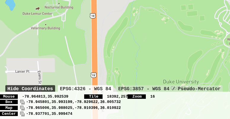
- coordinates.png (129.2 KB ) - added by 5 months ago.
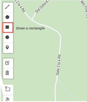
- box_edit.png (25.0 KB ) - added by 5 months ago.
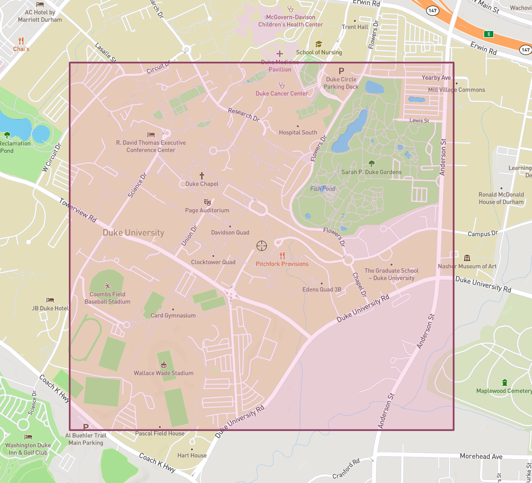
- map.png (561.2 KB ) - added by 5 months ago.
-
Screenshot from 2026-01-26 01-57-57.png
(425.8 KB
) - added by 5 months ago.
COSMOS
-
COSMOS_RM.png
(461.5 KB
) - added by 5 months ago.
RM
-
COSMOS_render.png
(241.6 KB
) - added by 5 months ago.
Map
Download all attachments as: .zip